Geology
Software
Our geology solutions ensure you can produce a reliable estimation of a resource regardless of the commodity and also include tools for ore control, tracking and reconciliation.

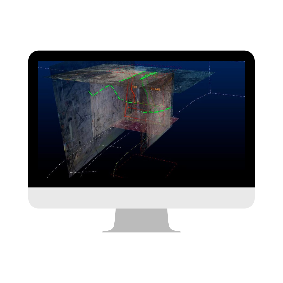
Face mapping software
Datamine Studio Mapper, together with Studio RM, is the only integrated mine mapping and structural modelling solution delivered on the same platform, with a consistent user experience. Designed for both touch and desktop devices, Studio Mapper stores field data in a managed but flexible database that encourages controlled data capture, storage, sharing and processing. As the definitive digital field book, Studio Mapper builds on the strengths of Datamine’s core Studio engine whilst delivering a versatile, feature-rich application for all field geologists.
Efficient face mapping directly onto a tablet.
Digital mapping at the face with or without captured images.
From map to model, Studio-based to enable easy transfer of data between various packages.

Advanced geological & geotechnical mapping analysis
Sirovision is developed in collaboration between Datamine and the Commonwealth Scientific and Industrial Research Organisation (CSIRO). It allows for the remote and safe capture of geological and geotechnical features while avoiding costly disruption to production activities. Mapping of both geological and geotechnical features is supported, along with automatic recognition of mineralogy. Further analysis tools for wedge detection and slope stability provide valuable inputs to geotechnical support designs and for identifying safety hazards in open pits and underground environments.
Uses off the shelf digital SLR cameras and fixed focal length lenses.
The whole face can be photographed and mapped from a safe distance.
Take photos easily and rapidly with only 2 days of training and basic digital camera knowledge required.
Precise and accurate scaling, positional and angular measurements for reliable geotechnical analysis.

Advanced photogrammetry software utilising data capture from drones.
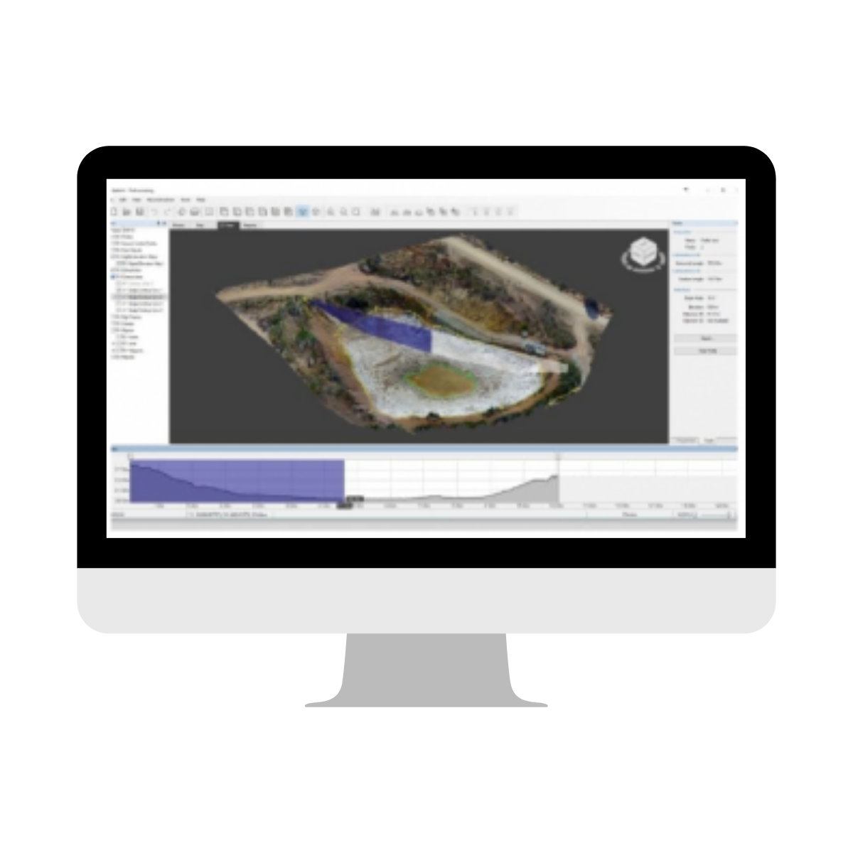
Datamine PixPro is an advanced Photogrammetry software utilising data capture from drones and a range of other captures. Designed to provide fast data-driven insights, Datamine PixPro provides the most efficient, sustainable and cost-effective solution. Easy integration with Sirovision, Studio Survey and other Datamine products.
A wide range of photo management options enables the user to process the photos acquired by any photographic source. With Photo Manager you can also easily review, arrange, select or deselected the specific photos for further data processing
Dense point clouds are the key elements in creating a 3D mesh from the original 2D footage. Denser 3D point clouds result in higher resolution, more detailed textures and improved precision.
This feature allows you to monitor how an object changes with time and access valuable information for effective resource and workflow planning. It also enables you to monitor changes in stockpiles, including building and depletion.
Object visualisation in 3D mode has never been so easy – no matter the size of the object, navigate through different views without sacrificing
performance or accuracy. The large data visualisation engine enables you to zoom in, zoom out, drag the zone of interest from one object to another,
maintaining visual clarity.

Integrated data solution
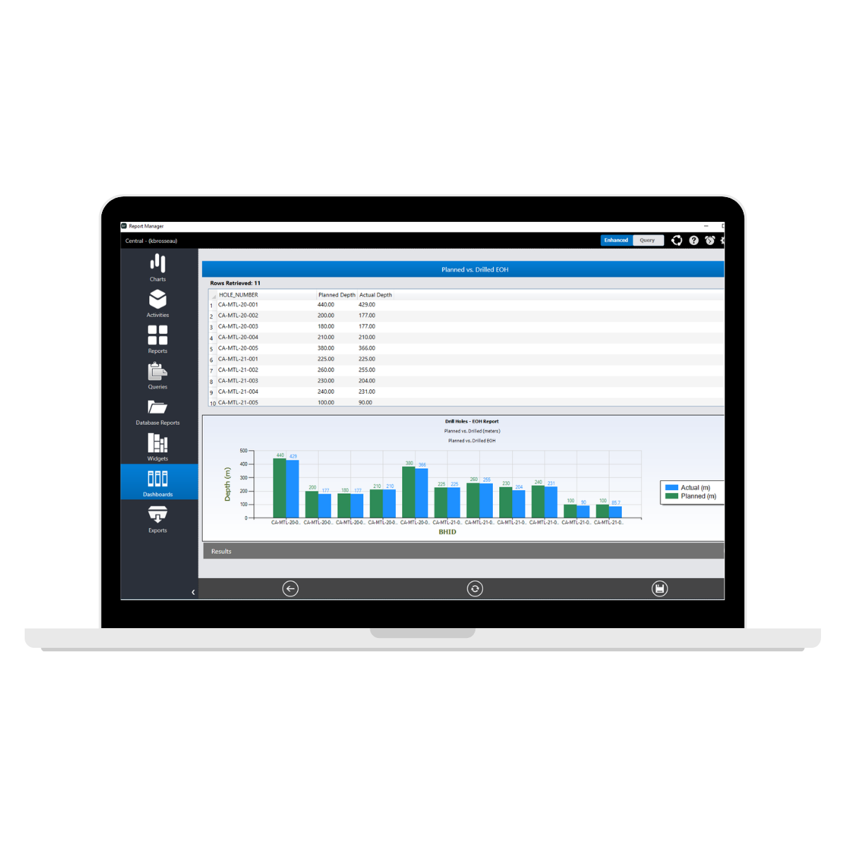
Fusion is the ultimate database solution that provides you with all the necessary tools for quick, safe and accurate data collection. This ensures that there is one location for all exploration and production data. It’s scalable to the size of your business, and effortlessly customisable by your own company personnel, enforcing your business rules by immediately validating data while the information is being captured. A truly innovative approach that allows users to work remotely and collaborate with others. Governance and security features are built-in, with only authorised users able to retrieve, update and query data from Fusion.
With different access levels, always be sure your data is safe and secure without unwarranted distribution.
Scalable and configurable from single site to multi-site installations.
One location for all exploration and production data means easy synchronisation between all database levels.

Invaluable geostatistics tool for resource estimation professionals
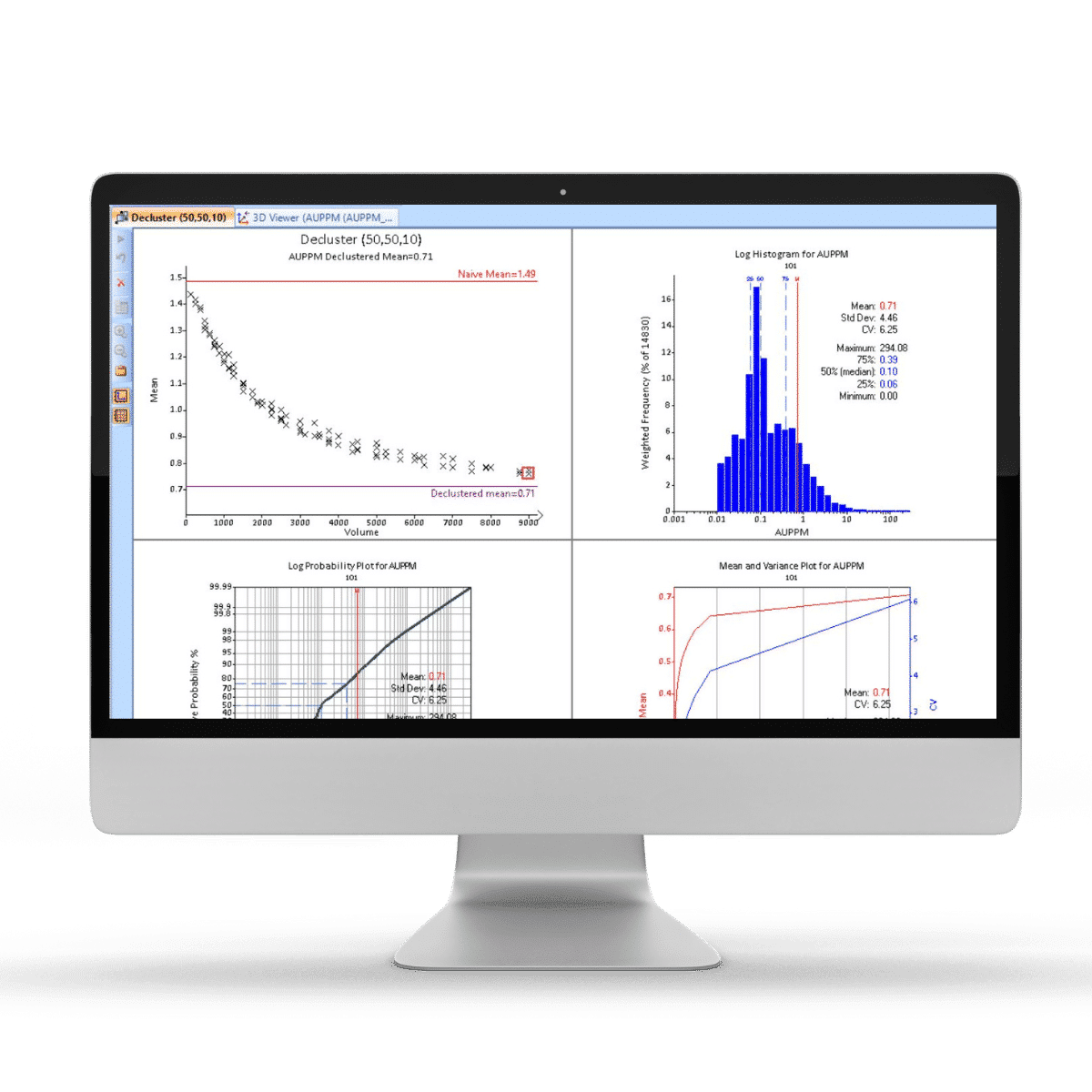
Created by Geologists for Geologists, Supervisor relieves the stress of resource estimation by providing a suite of powerful, interactive statistical tools specially designed with resource geologists in mind. Billions of dollars are invested in projects based on resource estimates. Biased data or invalid domains generate unreliable results with dramatic downstream economic implications. Supervisor provides everything you need to optimise your resource estimate and deliver to the highest standard.
Supervisor is backed and developed by leading geology consultants to fully support the resource estimation process, suited to the way geologists work and think – it is designed by geologists for geologists. As the benchmark for routine geostatistical modelling software, Supervisor is utilised by the worlds leading mining and consultancy companies, who depend on the software for their geostatistical modelling requirements. With a wide range of graphing and visualisation tools, and an ever expanding offering of advanced geostatistical solutions, Supervisor offers resource estimators the ability to produce higher quality estimates without the frustrations associated with typical mining software.
Supervisor is all about productivity, which is why user experience is a core design philosophy for each and every one of our components. As resource professionals ourselves, we understand the frustrations and stress associated with tight deadlines which is made worse by poor software design. Supervisors easy to navigate workflows, simple and intuitive design, and sensible pre-sets alleviate the frustration throughout the resource estimation process so that you will be working with Supervisor and not against it. Supervisor takes care of the manual handling of datasets, performing pre- and post-processing or transformations on-the-fly so that you can spend more time interpreting the results and making impactful decisions.
Resource estimation relies on numerous technical parameters which must be set uniquely based on various features such as data types, mineralisation styles and estimation method. Careful optimisation of these parameters results in higher levels of confidence and more robust economic decision making during mining. Supervisor provides a comprehensive suite of easy-to-use tools that allows resource geologists to quickly and effectively explore the kriging parameters and find the optimal settings. Conditional bias statistics such as KE and Slope of Regression are rapidly collated and presented in graphs which can be easily interpreted. In addition, the implementation of the Multi-block KNA has major advantages over the traditional Single-block KNA approach, producing global optimisations and avoiding single-point solutions in the study area.
Supervisor has been built from the ground up as a companion tool to be used alongside your mining software package of choice. Import options are available for all leading data types, while estimation properties can be exported to a range of outputs to align with built-in workflows for all major software. In the case of Datamine’s product suite, compatibility has been extended even further with the ability to read properties and parameters directly from Supervisor project files with the need to export any data whatsoever. As resource professionals ourselves, we always strive to break down the barriers that contribute to time-wasting and clerical errors and remove the frustration from the resource estimation process.

The full power of geostatistics
within your reach
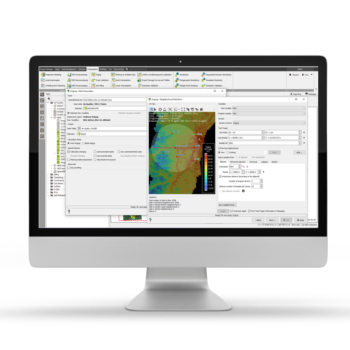
Isatis.neo is a powerful, intuitive, and highly customizable geostatistics software solution. It provides easy access to an exclusive set of geostatistical and machine-learning techniques for geologists, mining engineers, and resource teams to deliver robust and accurate resource models and confidently make effective decisions. The software results from decades of experience in geostatistics software development. It offers the latest generation of tools that resource geologists can use to gain high-level insight into their projects and the broadest range of estimation and simulation functions available on a single desktop application in the market. Isatis.neo delivers peak performance with a user-friendly interface and cutting-edge algorithms, constantly optimized to boost user efficiency.
Besides many statistical and visualization tools for comprehensive data and orebody analysis, you find in Isatis.neo a unique and exclusive choice of interpolation and kriging techniques for block modeling, allowing you to consider faults, local anisotropies, various data supports, and precision levels for the most refined estimates. It also enables SMU and recoverable resource estimation through Uniform Conditioning and provides several conditional and facies simulation techniques for uncertainty and risk analysis through probability and quantile maps. In addition, the software has a powerful Exploratory Data Analysis application allowing multivariate and multidirectional analysis, along with several tools to prepare data for robust estimation, such as compositing, declustering, and variable capping.
Isatis.neo is developed based on research and development projects in collaboration with the French Mines Paris-PSL, where geostatistics originated. This results in an exceptional, specialized product that offers several unique tools, including an unrivaled engine for automatic variogram fitting, an original methodology for efficient mining resource classification, another to quickly extract a representative subset of simulations for efficient risk analyses, and a machine learning-based application for automatic domaining.
Isatis.neo includes batch scripting capabilities to record and automate sequences that you can finely adjust to your company's processes. The software also allows you to insert pieces of Python code into your batch processes to customize and optimize your routines even more. Hence, you can combine geostatistics with machine learning techniques to solve real and complex mining problems.
Isatis.neo is democratic and addresses everyone, novice or expert in geostatistics. It is quick to grasp, featuring a modern and intuitive user-software interface. In addition, it comes with intelligent applications to help you optimize the parameter settings and validation tools to give you the confidence you need in results. It offers exceptional interoperability, enabling you to exchange data with significant software packages effortlessly, and allows for easy report creation on the go.
Studio RM.
Resource modelling and evaluation
Choose between Studio RM Studio RM Pro

Resource modelling and evaluation
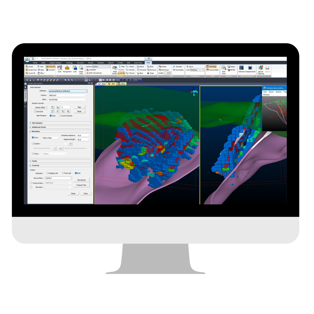
Studio RM represents an industry standard for geological modelling, geostatistical analysis, resource estimation and evaluation. With a long and proven track record of generating trusted and accurate results from exploration all the way through the mining value chain, geologists can be assured that Studio RM is, without doubt, the best geological modelling package. Studio RM’s highly adaptable workflow supports modelling in any geological setting or commodity, and easily handles big data.
Plan and review geological data, with tools to develop accurate geological models quickly
Produce reliable resource and reserve models using functions such as advanced block modelling, geostatistical analysis, grade estimation and mineable shape optimisation
Save time and reduce errors on sites by capturing and automating pieces of workflow to reliably carry out repetitive and complex tasks

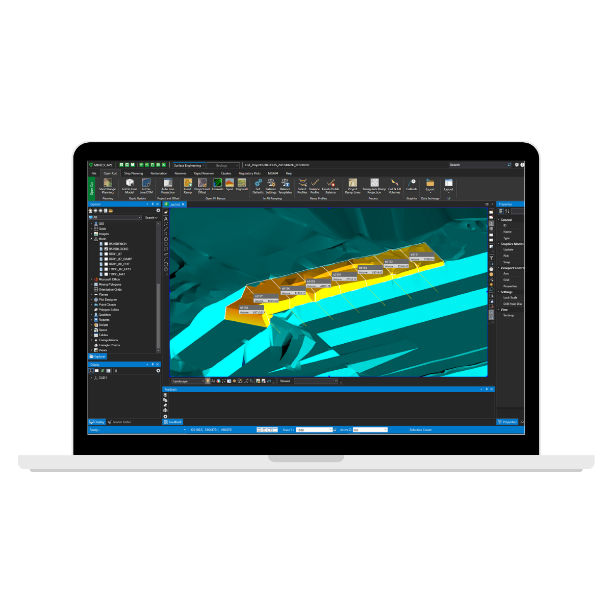
Specifically developed to meet the mining industry’s rigorous demands, MineScape is used at more than 200 of the world’s most complex mining operations from nickel phosphate mining in Russia to coal mining in Indonesia. It is a suite of integrated solutions designed for open cut and underground mining operations for coal and metalliferous deposits. MineScape delivers extensive geological modelling and mine design functionality, making it a leading mine planning solution globally.
GDB stores downhole survey, lithology and quality data and also produces standard, summary and custom, user-defined reports. It graphically displays data such as lithology, intervals, downhole geophysics as well as allowing geologists to conduct correlations, composition, washability calculations and classical 2D geostatistical studies.
Stratmodel empowers geologists with the ability to complete stratigraphic modelling of inherently complex environments. Stratmodel's advanced structural capabilities enable geologists to gain accurate and detailed understandings of subsurface structures influencing their deposits.
Block Model has the ability to efficiently and accurately model both stratified and non-stratified deposits using conventional and industry standard block modelling tools and processes. Users can generate models and interpolate geological data to develop wireframe solids as well as export to 3rd party optimisation engines.


